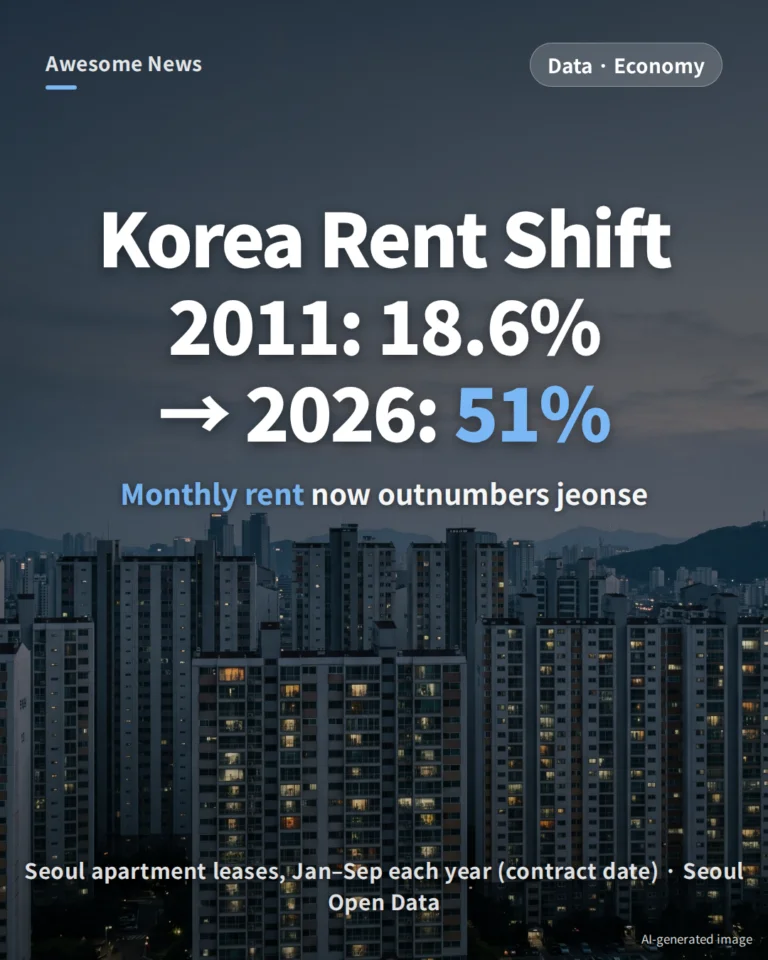
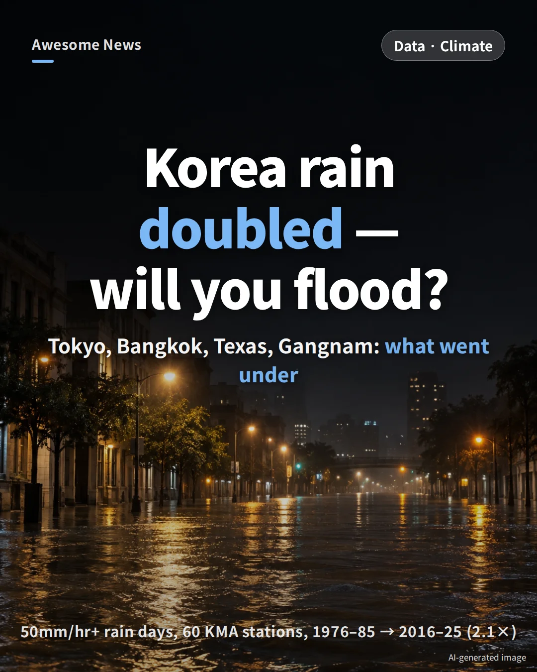
The planet just logged its hottest 11 years on record (2015–2025, WMO). In South Korea, days with more than 50mm of rain per hour have doubled over the past 50 years across 60 weather stations. This piece lays out, in numbers, what flooded in Tokyo, Bangkok and Texas this year, why Seoul’s Gangnam Station went under in 2022, and how far the capital region would be submerged under extreme scenarios of a 7m sea rise or a 39m tsunami. The short answer: the places that flood are not ‘low-elevation regions’ but spots lower than their surroundings — basements, riverbanks and valley floors.
Key numbers at a glance
- Rain doubled: Across 60 Korean weather stations, days with 50mm/hr+ rain rose from 0.24 days per station per year in 1976–85 to 0.51 days in 2016–25 (Korea Meteorological Administration)
- Hottest 11 years: 2015–2025. In 2025, Earth was 1.43°C above the pre-industrial baseline (WMO)
- Tokyo 36 days of rain: Aug 27–Oct 1, 2026 — the longest streak since records began in 1876. But homes flooded only when Typhoon No. 25 (Sept 21) hit at the end
- Bangkok 300mm+ in 48 hours: The heaviest since 1983. Only the low-lying east stayed deep and long under water; the higher west side (Thonburi) barely flooded
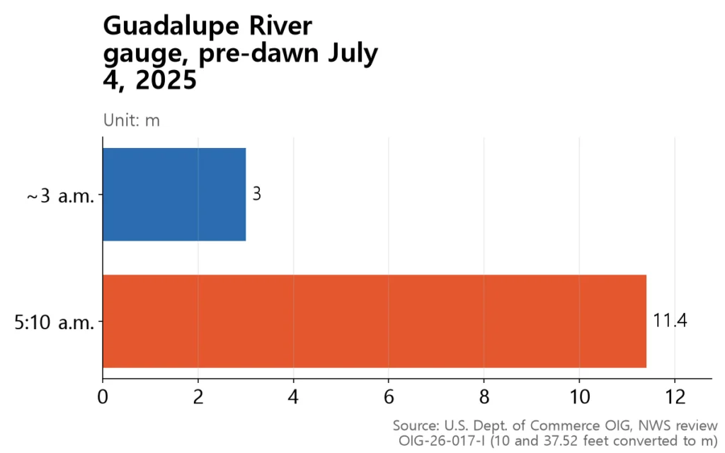
- Texas river rose 8m in just over 2 hours: The Guadalupe River climbed from 3m to 11.4m; at least 135 people died
- Seoul Gangnam 2022: Dongjak-gu got 381.5mm that day while the Seoul reference station (Jongno) got 129.6mm — a 3× gap just kilometers apart
- 7m sea rise scenario: Low-lying coastal land in the capital region would be submerged — a public simulator counts 307,000 people in Incheon and 376,000 in Gyeonggi living on land that would go under
The planet: 11 hottest years, and rain in sharper bursts
The World Meteorological Organization’s *State of the Global Climate 2025* reports that 2015–2025 were the warmest 11 years on record. In 2025, global mean temperature stood 1.43°C above the 1850–1900 pre-industrial baseline — second or third warmest in 176 years (2024 topped the list at 1.55°C). Copernicus Climate Change Service put 2025 at 1.47°C, third place; methods differ slightly across agencies.
Global mean sea level is now about 11cm above its 1993 level, and the pace has accelerated roughly 1.8× — from 2.65mm per year in 1993–2011 to 4.75mm per year in 2012–2025 (WMO). In South Korea, if you take only the stations with continuous records since 1973 and group them into decades, 50mm/hr+ days per station per year rose from 0.24 (1976–85) to 0.51 (2016–25) — a doubling (calculated).
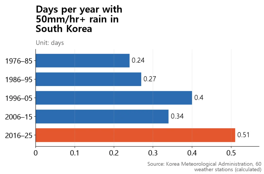
It is not a smooth upward march, though. The 2013–2022 decade actually dipped, and 2024 jumped back to 0.85 days — second only to 1998 (0.92). What has grown is not the total annual rainfall but how hard it falls in a single hour.
Tokyo: 36 straight days of rain, longest since 1876
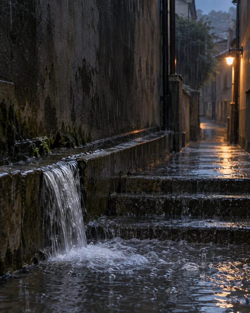
Japan Meteorological Agency data for Tokyo show 36 consecutive days of rain from Aug 27 to Oct 1, 2026 — the longest streak since Tokyo observations began in 1876, beating the previous record of 33 days set in 2019. But 11 of those 36 days received less than 0.5mm. Total rainfall over the streak was 705mm.
| Item | Figure |
|---|---|
| Consecutive days | 36 — longest since 1876 (prev. 33 in 2019) |
| Period | Aug 27 – Oct 1, 2026 |
| Total rainfall | 705mm |
| Days with <0.5mm | 11 |
| Typhoon No. 25 (Sept 21) | 156mm in one day |
The common line that ‘Tokyo flooded because it rained for 36 days’ is misleading. Homes went under when Typhoon No. 25 made landfall on Sept 20–21 — right at the end of the streak. Japan’s Fire and Disaster Management Agency count (reported Sept 25) tallied 522 homes with floors submerged, most of them in Chiba Prefecture next to Tokyo. In Chiba, user-reported flood photos collected by a private weather app showed that 48% came from ‘depressions on higher ground’ — but most of those were only ankle-deep road flooding, while the serious damage was still concentrated along low-lying riverbanks (Weathernews).
Bangkok: same rain, only the low east went under
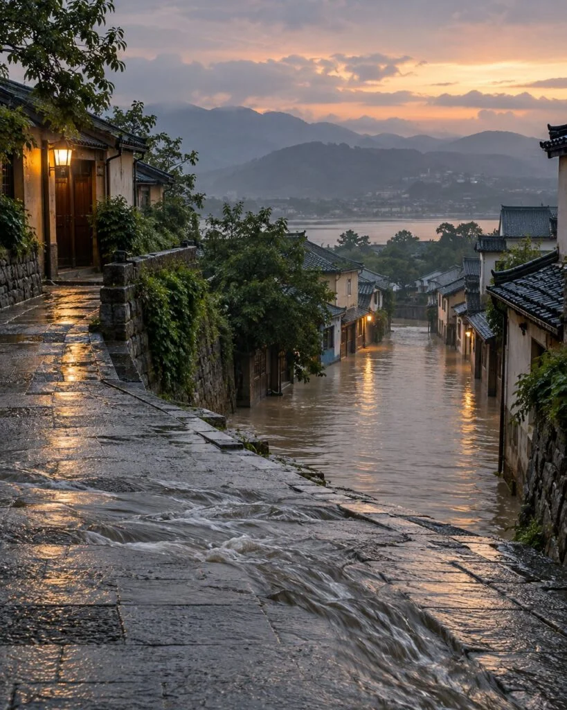
Bangkok City Hall reported that more than 300mm of rain fell citywide in about 48 hours on Sept 24–26, 2026 — the heaviest since 1983, 43 years ago. All 50 districts were declared disaster areas. Chatuchak district recorded the single-day peak of 210mm. Across Bangkok, 329,000 households were affected and 4 people died (Thailand’s Department of Disaster Prevention and Mitigation, as reported in Thai press).
| Where | Terrain | Outcome |
|---|---|---|
| East (Min Buri, Lat Krabang) | Low and subsiding ground | Deep, long-lasting floods |
| West (Thonburi) | Relatively higher ground | Barely flooded |
| Business core (Silom, Sathorn) | Drainage prioritized | Protected |
Bangkok sits on the Chao Phraya River delta at an average elevation of just 1–2m (World Bank). Rainfall was similar across the city, but only the low-lying eastern districts (Min Buri, Lat Krabang, Bang Kapi) flooded deeply and for long; the relatively higher western side, Thonburi, barely flooded. The business core kept dry by prioritizing drainage. A Kasetsart University professor told Thai media that ‘the rain was not very different, but the low places went under’ — the same logic as Gangnam and Tokyo.
Texas: a river that rose 8m in just over two hours
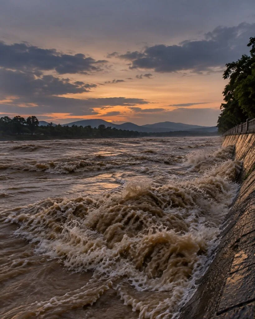
In the pre-dawn hours of July 4, 2025, up to roughly 500mm of rain fell in a few hours on the Texas Hill Country (WMO). According to a U.S. Department of Commerce Office of Inspector General review of the National Weather Service’s response, the Guadalupe River at Hunt rose from about 10 feet (3.0m) around 3 a.m. to 37.52 feet (11.4m) by 5:10 a.m. — more than 8 meters in just over two hours.
The Texas Hill Country is, as its name says, hills. And yet flash floods wiped out summer camps along the riverbanks between those hills, killing at least 135 people — 117 in Kerr County alone, including 37 children. ‘High elevation’ and ‘well above the water’ are not the same thing. Other recent disasters — Germany’s Ahr Valley flood of 2021 (180+ dead) and the 2021 Zhengzhou flood in China’s mountains (251 dead or missing) — happened the same way: on valley floors in hilly country.
Seoul Gangnam 2022: actually ‘the bottom of a hill’
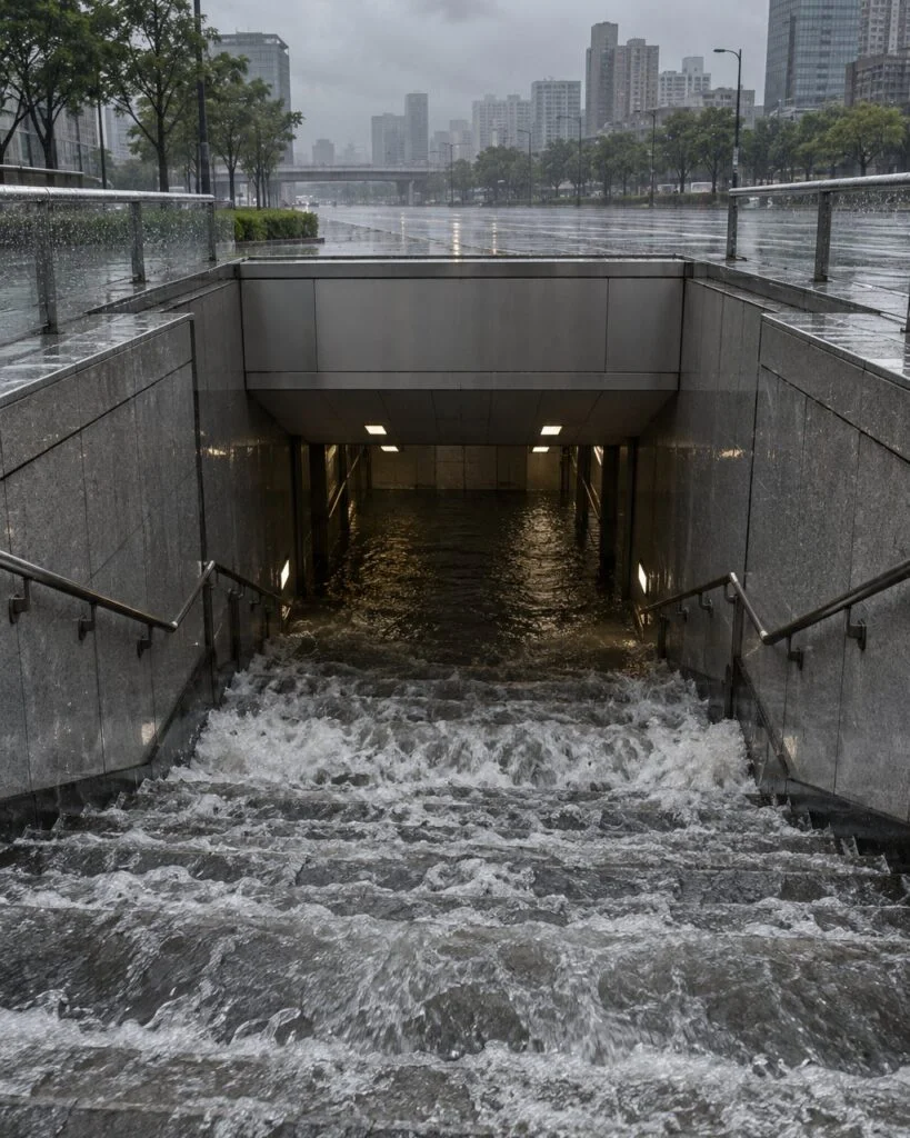
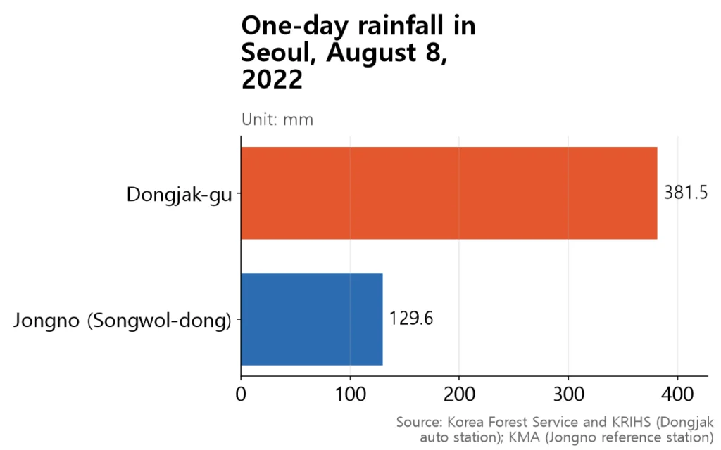
According to Seoul city officials, the Gangnam Station area sits more than 10m below its surroundings — a natural bowl where rainwater collects. Seoul’s storm drains are generally built to handle only up to 75mm per hour (Korea Research Institute for Human Settlements, Issue Report No. 67). On August 8, 2022, the Seoul reference station in Jongno-gu recorded 129.6mm for the day — but an automatic station in Sindaebang-dong, Dongjak-gu, logged 381.5mm. The rainfall differed almost threefold just a few kilometers apart.
That August 8–17 downpour flooded 21,932 homes in Seoul alone and killed 8 people in the city. A Korea Research Institute for Human Settlements report breaks down the eight deaths: 4 in flooded semi-basement apartments (3 in Gwanak, 1 in Dongjak), 1 by electric shock, and 3 in a flooded underground parking garage and manhole fall (Seocho). The worst damage clustered in ‘areas with 100mm/hr+ rain, past flood zones, old low-rise and semi-basement districts, and low-lying land near rivers.’ Yet Seoul’s semi-basement households actually grew from 201,000 in 2020 to 245,000 in 2024 — 5.9% of all Seoul households (Korea Center for City and Environment Research, as reported).
What if the sea rose 7m? Up to the 3rd floor
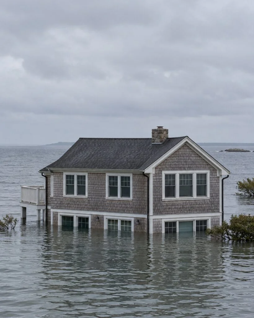
First, the facts. Sea levels along Korea’s coast rose about 11.5cm over the 36 years from 1989 to 2024 — an average of 3.2mm per year, measured at 21 tide-gauge stations by the Korea Hydrographic and Oceanographic Agency. Under a high-emissions scenario (SSP5-8.5), the government projects 25cm by 2050 and 82cm by 2100 — so this century’s realistic range is under 1m.
So where does the ‘7m’ figure come from? That is the amount sea levels would rise if the entire Greenland ice sheet melted — a very long-term hypothetical, not a 21st-century forecast. Plug 7m into the Korea Marine Environment Management Corporation’s sea-level simulator and roughly 1.85 million people across Korea would be living on land that goes under water.
| Region | Land submerged | People |
|---|---|---|
| Seoul | 30.2 km² | 13,591 |
| Incheon | 192.5 km² | 306,958 |
| Gyeonggi | 288.9 km² | 375,863 |
A more realistic within-century scenario is +1.1m by 2100 under high emissions. In that case, the simulator counts 501 km² and 37,000 people nationwide on submerged land — tens of times fewer than at 7m. Either way, the land that would be lost is reclaimed coast and estuary lowlands on the capital region’s west side (Gimpo and coastal Incheon). Central Seoul is almost entirely spared.
What if a 39m tsunami hit? 7.24 million in Seoul
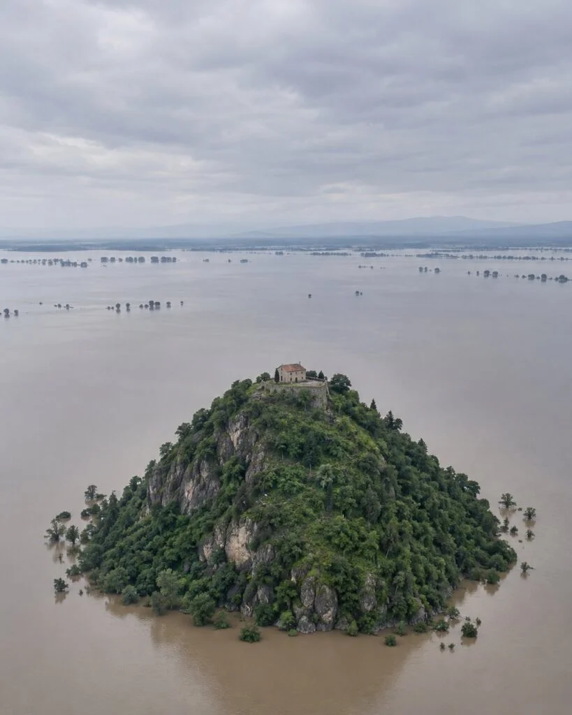
The 39m figure is not a climate projection. It is the maximum run-up height recorded during Japan’s 2011 Tōhoku earthquake tsunami, and KOEM’s own interface notes that ‘such a scenario is highly unlikely along Korea’s coasts.’ In other words, this is a stress test — useful only for seeing what land stays dry.
| Region | Land submerged | People |
|---|---|---|
| Seoul | 370.2 km² | 7.24 million (75%) |
| Incheon | 784.6 km² | 2.73 million (92%) |
| Gyeonggi | 2,517.7 km² | 6.63 million (50%) |
Three-quarters of Seoul’s population would be on submerged ground — but even in this extreme, some high ground survives. Overlay Copernicus elevation data with OpenStreetMap on the capital region and the ridges of Gwanaksan, Namsan and Bukhansan stand out as islands. Flip it around: whatever stays safe in the worst case shares one trait — it sits high.
How to read these numbers
- ‘Seoul will sink into the sea’ is exaggerated. Under +1.1m (high-emission 2100), the simulator shows just 0.1 km² of Seoul going under. Seoul’s 2022 flooding had nothing to do with the sea — it was rainwater that could not drain.
- 7m and 39m are not this-century forecasts. 7m is the full-Greenland-melt scenario; 39m is the peak run-up of the 2011 Tōhoku tsunami. Both are extreme stress tests, and the KOEM simulator ignores levees, seawalls and drainage pumps in every model.
- ‘141.5mm’ and ‘129.6mm’ come from different stations. The first is Sindaebang-dong auto station in Dongjak; the second is the Seoul reference station in Songwol-dong, Jongno. Treating both as ‘Seoul’ on one chart is wrong.
- ‘Heavy rain increases every year’ is overstated. The 2013–2022 decade actually eased off. The doubling claim holds for 10-year averages at 60 stations between 1976–85 and 2016–25.
- Bangkok’s 329,000 figure counts affected households, not flooded homes. Many rainfall and damage numbers here come from press reports; we could not obtain the original Bangkok City Hall or DDPM releases.
- The Chiba ‘48% on high ground’ figure came from private app submissions, and most were only ankle-deep road flooding. It does not mean high ground is more dangerous.
Summary: higher ground beats lower ground
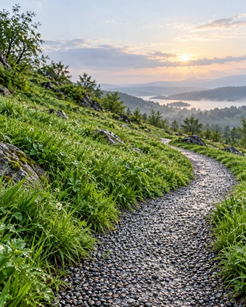
Lay Tokyo, Bangkok, Texas and Seoul 2022 on top of each other and the common thread is clear: what floods is not ‘low-elevation land’ but ‘spots lower than their surroundings — basements, riverbanks and valley floors.’ ‘Higher ground, not bad’ is true in that sense — with one exception: the base of mountainsides and the bottom of ravines. South Korea lost 17 people to landslides in 2025 (Korea Forest Service), and the Ahr Valley, Texas and Zhengzhou disasters killed the most people exactly on mountain terrain.
| Flood-prone | Safer |
|---|---|
| Land lower than its surroundings (Gangnam, −10m) | Land higher than its surroundings |
| Semi-basement and basement | Above ground |
| Riverbanks and estuary lowlands (East Bangkok, west-coast reclaimed land) | Above the water line (Bangkok Thonburi) |
| Below mountainsides and in ravines (Texas, landslides) | Ridges and flat ground, even at height |
When picking a home, the elevation number matters less than three questions: is this spot lower than its neighborhood, is it a basement, and is it right next to a river or ravine? Under the Urban River Basin Flood Damage Prevention Act (in force since March 2024), urban flood alert text messages were first sent out on June 19, 2026, to residents of six Seoul districts (Gangnam, Seocho, Gwanak, Guro, Dongjak, Yeongdeungpo). They warn, every 10 minutes, of flood risk at the recipient’s location; nationwide rollout is planned by December (Ministry of Climate, Energy and Environment).
One gap remains. The standard real-estate disclosure form (revised Aug 11, 2026) that agents fill out for buyers still has no field for past flood history. Only wall leaks and ‘environmental conditions’ are listed — so whether the block itself has flooded is something a buyer must still find out in person.
In the end: the harder it rains, the more height helps — and the more it matters not to add to the problem. Global sea-level rise has nearly doubled in pace over 30 years (WMO), and the Korea Meteorological Administration projects that 100-year extreme rain events could grow by +53% nationwide and up to +73% in the Han River and East Sea basins under high emissions by late this century. Looking again at the shape of the ground you live on and cutting back on greenhouse gases have to go together.

Awesome News on Instagram @awesome_news_kr
This article is the research behind our Korean-language card news. Every morning we turn Korean data and official sources into short visual stories. See it on Instagram →
Sources
- World Meteorological Organization — State of the Global Climate 2025 (2026-03)
- Copernicus Climate Change Service — Global Climate Highlights 2025 (2026)
- Korea Meteorological Administration — Climate Data Open Portal — surface station rank data, 60 stations 1973–2025 (Korean)
- Korea Meteorological Administration — Without emissions cuts, late-21st-century basin extreme rainfall could rise up to 70%+ (press release) (Korean) (2022-06-14)
- Ministry of Oceans and Fisheries / Korea Hydrographic and Oceanographic Agency — Korea’s sea level up about 11.5cm over the past 36 years (press release) (Korean) (2025-12-28)
- Ministry of Oceans and Fisheries — Korea’s sea level projected to rise up to 82cm by 2100 (press release) (Korean) (2023-03-09)
- Korea Marine Environment Management Corporation — Sea Level Rise Simulator (Korean)
- Japan Meteorological Agency — Tokyo station daily values, September 2026 (Japanese)
- Japan Weather Association tenki.jp — Analysis of Tokyo’s 36 consecutive days of rain (Japanese) (2026-10-01)
- Weathernews — Analysis of citizen flood reports in Chiba (Japanese) (2026-09)
- The Reporters (Thailand) — Bangkok September 2026 downpour and flooding — governor press briefing (Thai) (2026-09-26)
- Thai PBS — Bangkok flooding coverage (Thai) (2026-09)
- World Bank — Climate Risks and Adaptation in Asian Coastal Megacities (2010)
- U.S. Department of Commerce Office of Inspector General — National Weather Service review of July 4, 2025 Texas flood (OIG-26-017-I)
- Seoul Metropolitan Government — Deep underground rainwater drainage to be built first at Gangnam, Gwanghwamun, Dorim-cheon (Korean) (2022-09-13)
- Korea Research Institute for Human Settlements — KRIHS Issue Report No. 67 — Urban flood prevention in the climate crisis era (Korean) (2022)
- Korea Forest Service — 2022 Landslide Prevention HQ five-month report (cites Dongjak 141.5 / 381.5mm) (Korean)
- Korea Forest Service — Key policy improvements for landslide prevention in 2026 (Korean) (2026-07-09)
- Ministry of Climate, Energy and Environment — First urban flood alerts under the new law — six Seoul districts (Korean) (2026-06-18)
- Ministry of Government Legislation — Real estate disclosure form (residential), revised Aug 11, 2026 (Korean)
- The Kyunghyang Shinmun — Semi-basement households reach 245,000 in 2024 — Korea Center for City and Environment Research (Korean) (2025-08-10)
📊 Download the data
Every number in this article’s 8 charts and tables, in one CSV file (opens in Excel or Google Sheets). When you cite it, please name the original source and link to this page.
Download CSV